
Photogrammetry is used to determine the underlying geometric principles of landforms and objects through photographic imagery. By taking two or more photos in different positions, we can obtain accurate 3D coordinates through precise triangulation. This service provides the accuracy of GPS control with the power of aerial photography.

It is the cheapest and quickest way of mapping a large area

There are no site access issues

The photogrammetric map is a record of features and levels at an instant in time

Useful in rapidly changing sites such as mines, quarries and landfills
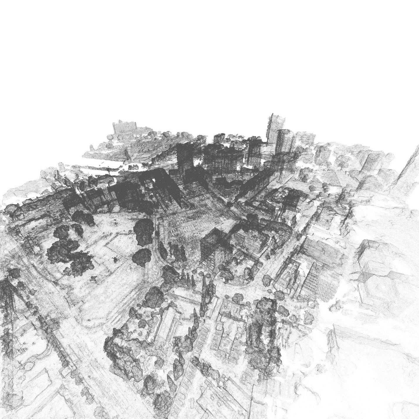
Data capture for photogrammetry requires careful planning and multiple passes to efficiently deliver overlapping images, as positions cannot be triangulated without multiple reference points. MA's Chief Pilot and operations team plan flight lines to deliver a robust and efficient photogrammetric result, with our data platform and specialists utilising the imagery to enable accurate calculation of underlying geometry.
Photogrammetry can be used to create 2D scale drawings, 3D terrain models, 3D models with photographic features and contours.
TW has extensive experience capturing photogrammetric data and delivering it in easy to use reports with calculations and recommendations.